-2.png)
Get Aerial Imagery for just $4.25/acre.
• 13-15 flights per season scheduled specifically for your region to capture critical moments throughout the season
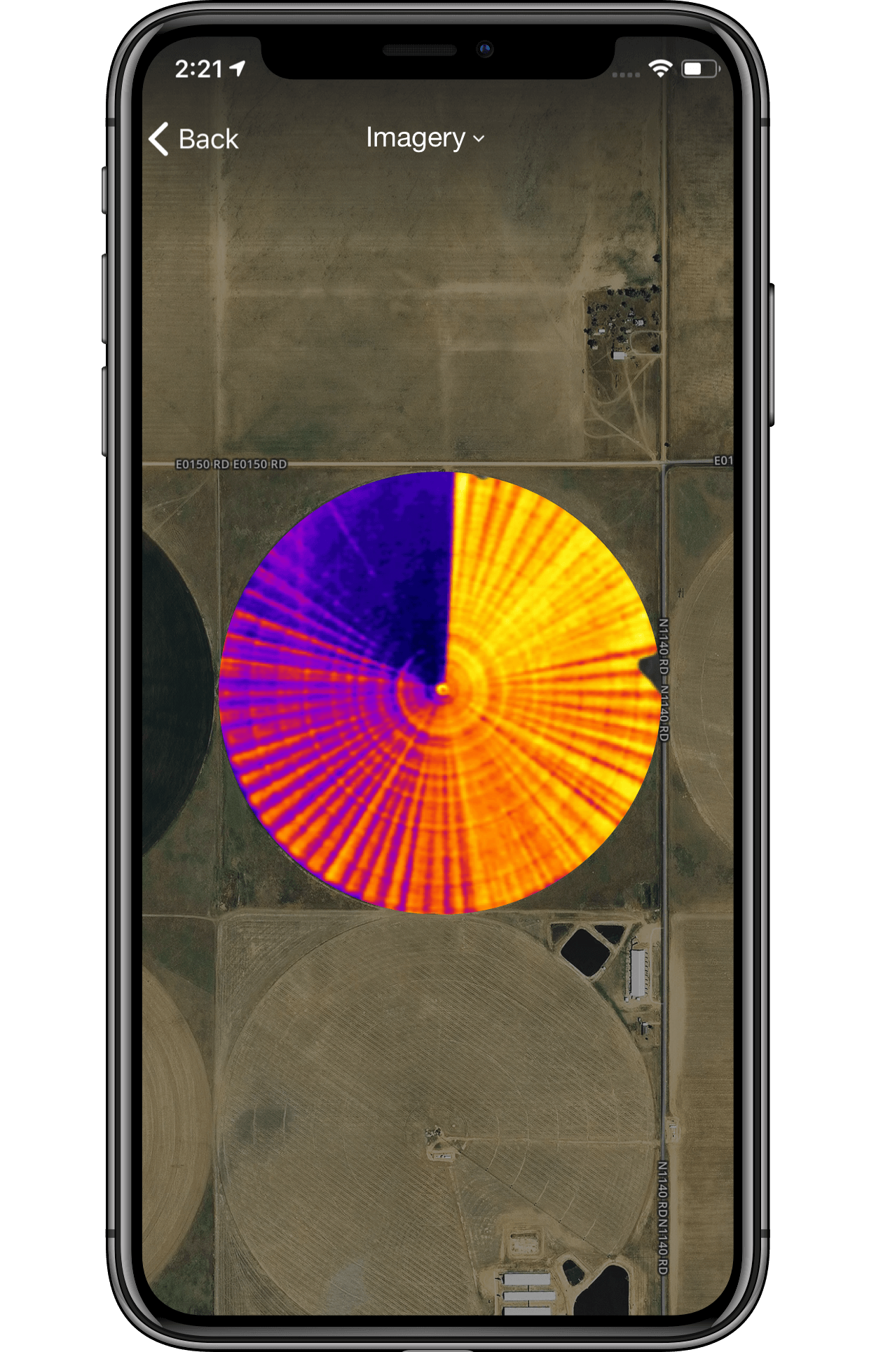
• Ultra high resolution (0.2-0.5 meters) allows you to remotely monitor crop health and guides decision-making
• Toggle between true color, color infrared, thermal, and NDVI images to reveal issues before they become apparent to the naked eye
• Includes satellite imagery giving you more images throughout the season for the complete picture of what’s happening in your fields

Or, add Aerial Imagery to your FarmLogs account
through the FarmLogs web app.